Our team of professional surveyors have extensive experience in all aspects of on site recording and processing. IAC’s survey department is fully equipped to provide a comprehensive service and rapid response to fulfil our client’s requirements.
We conduct ground and aerial surveys on a wide range of archaeological sites from excavations and built heritage to large infrastructural projects and can collect and store data using a variety of techniques.
This includes:
- GPS survey to collect topographic data
- Digital photogrammetry
- 3D models
- Laser Scanning
- Aerial survey
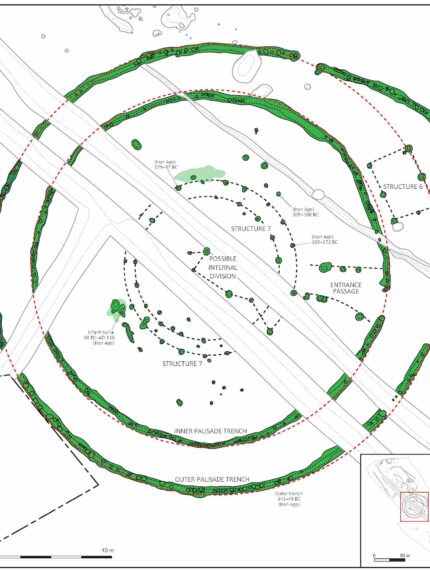
Our surveyors use GPS data to create detailed plans for report illustrations and figures. GPS is an efficient and cost-effective substitute for hand drawn plans and can be produced in both GIS using ArcGIS Pro and CAD output. This saves time in the field.
We produce fully scaled orthomosaic models, plans and elevations using digital photogrammetry. Orthomosaic plans and elevations are especially cost effective and a useful way to record masonry, upstanding buildings and urban sites in line with legislation. Our team can use 3D laser scanning for historical preservation projects, where exact measurements are required for the sake of safety, as well as structural integrity. 3D model production of an excavation or building is a useful tool for public and client engagement, along with publicly displayed information panels and ArcGIS StoryMaps.
Our UAS (Unmanned Aircraft System) pilots are certified to conduct flights in STS01/PDRA S01 operations. They can produce aerial photographs, video capture of a site or along a route, Digital Terrain Models (DTMs) and orthorectified plans for reference.
Please contact us for more information.
The Survey Team
elydon@iac.ie


