Our team of professional graphics technicians and illustrators have extensive experience in all aspects off-site recording. IAC’s graphics department is fully equipped to provide a comprehensive service and rapid response to fulfil our client’s requirements.
We specialise in processing recorded site data and create comprehensive visual records of archaeological sites. Using advanced GIS, CAD, Trimble, Adobe, and imaging software, we offer a range of services to support both technical reporting and public engagement.
We provide the following services.
- Report and publication graphics
- ArcGIS Online access to field data
- Rectified photography
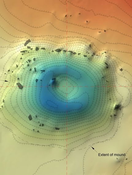
- Orthomosaic models
- Drone imagery and video
- Artefact illustration
- Information panels and posters
- Interactive digital StoryMaps
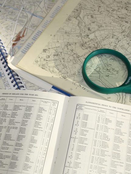
We have extensive experience producing graphics for technical reports, publications and public displays. Our team can enhance your audience’s understanding of archaeological discoveries through a variety of visual tools, including satellite imagery, historical and modern maps, site plans, sections, elevations, and artefact illustrations.
At IAC, we use cutting-edge technology to facilitate communication between excavation teams on-site and clients. Through ArcGIS Online, we provide real-time access to GIS data, allowing clients to view ongoing excavation progress as it happens. This includes pre-excavation data (e.g., after topsoil stripping) and updates on significant discoveries during the excavation process. Construction planners and engineers can access regular updates on complex development projects.
We also offer interactive digital StoryMaps, using ArcGIS to create online, engaging presentations of archaeological findings for public viewing.
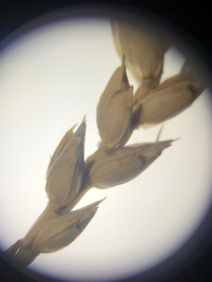
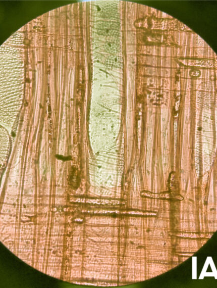
Our team of artefact illustrators use a combination of hand & digital drawings to produce accurate publication ready illustrations.
The Graphics Team
graphics@iac.ie